Maersk
Sea Transport Network
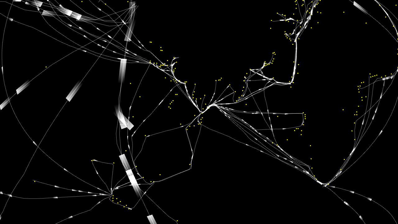
Sea Transport Network is a visualization of paths taken by Maersk vessels in 2011.
Hundreds of ships and half a million of GPS data points revealing day by day a complex mesh of paths and connections. Sea Transport Network is a initial exploration leading to better understanding of the data and aiding design of data driven tools and interfaces crafted together with team at Copenhagen Institute of Interaction Design.
Client
- Maersk
2011 / Copenhagen, Denmark
All the paths at once. It's interesting how the shapes of continents are noticable and how easy is to spot congestion points.